
UN
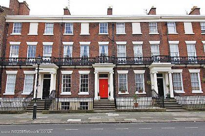
72 Canning Street
£ 97,500
Description
We don't have a Description for this property.
- Bedrooms
- 7
- Bathrooms
- 0
The heatmap indicates the level of crime in the area. The color of the heatmap indicates the crime severity and recency.
Metrics Year-on-Year
- Average area value
- 261,500.00 £Decreased by 8.10 %
- Average area rental value
- 833.00 £/moDecreased by 9.65 %
- Est rental Yield
- 3.82 %Decreased by 1.80 %
- Crime Rate
- 4.00 %Unchanged by 0.00 %
from 284,551.00 £
from 922.00 £/mo
from 3.89 %
from 4.00 %
Nearby Schools
| Name | Type | Ofsted | Distance |
|---|---|---|---|
| Abercromby Nursery School | Local Authority Nursery School | Good | 0.18 KM |
| University Of Liverpool Mathematics School | Free Schools 16 To 19 | 0.47 KM | |
| Windsor Community Primary School | Community School | Outstanding | 0.62 KM |
| Progress Schools - Toxteth | Other Independent School | Good | 0.69 KM |
| Lipa Sixth Form College | Free Schools 16 To 19 | Outstanding | 0.79 KM |
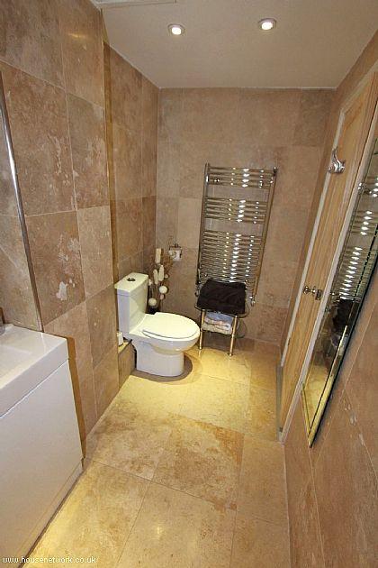
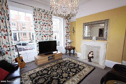
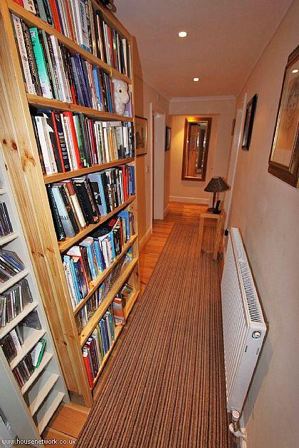
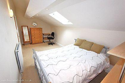
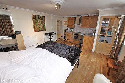
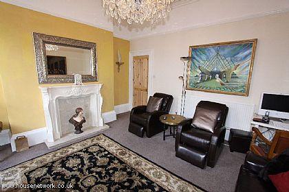
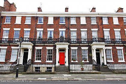
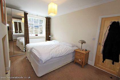
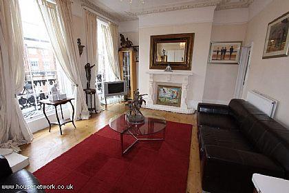
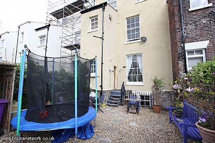
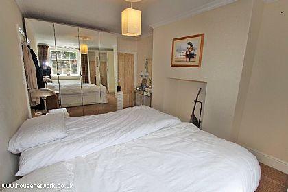
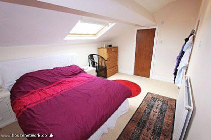
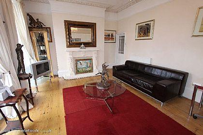
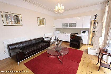
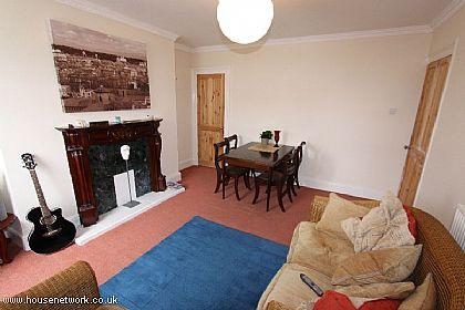
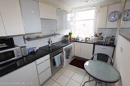
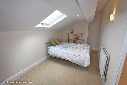
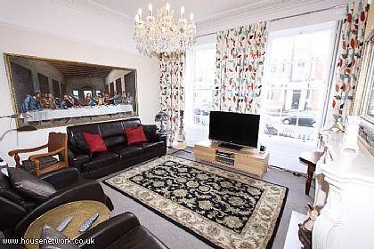
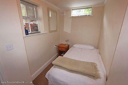
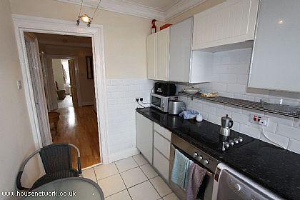
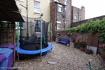
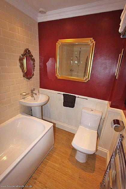
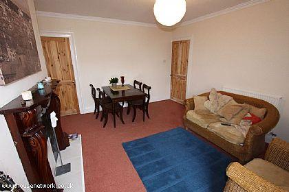
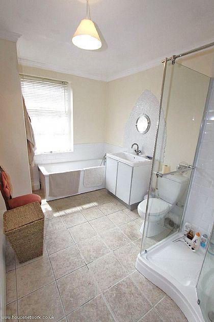
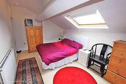
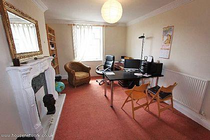
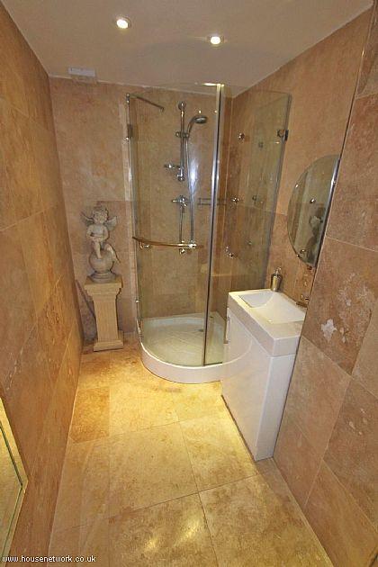
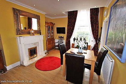
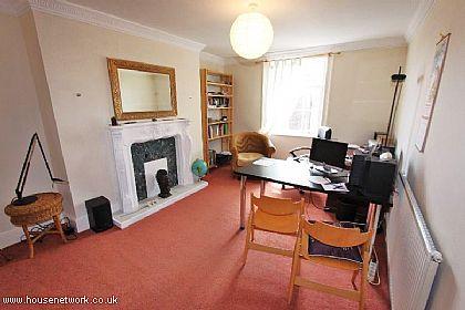
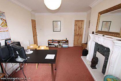
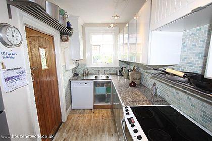
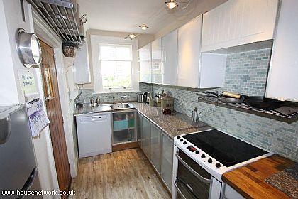
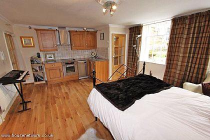
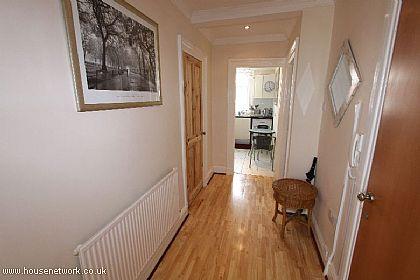
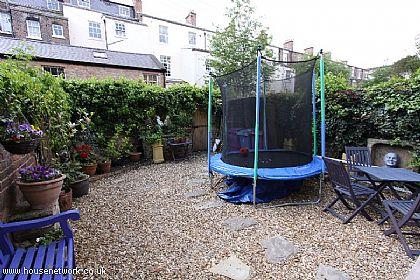
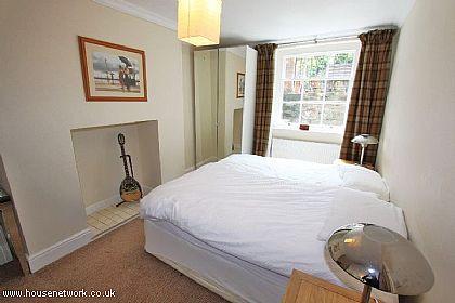
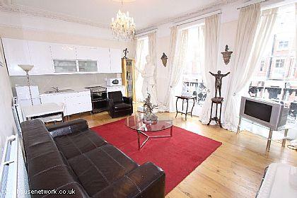
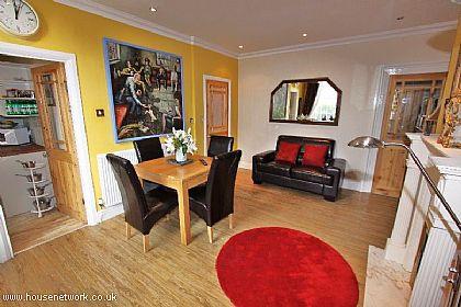
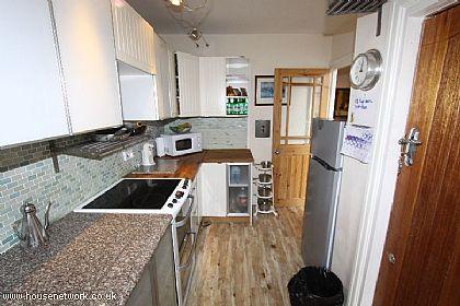
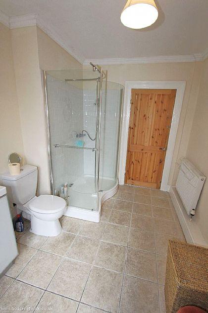
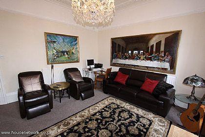
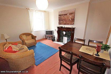
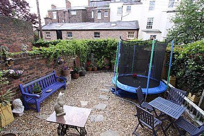
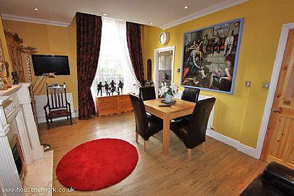
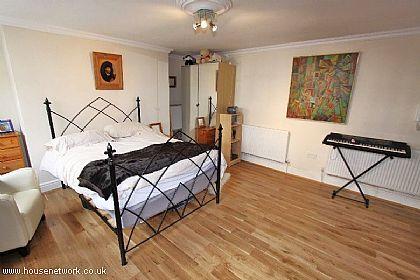
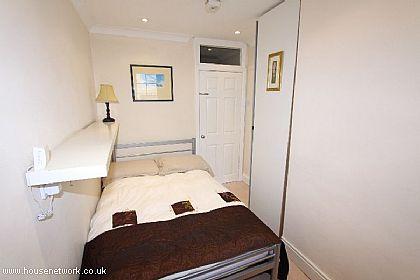
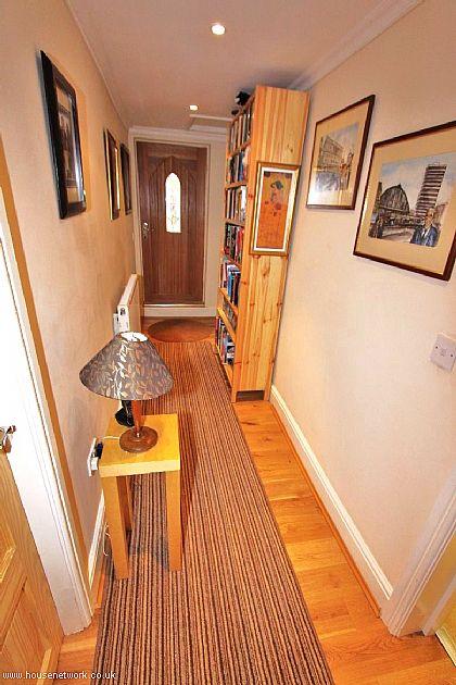
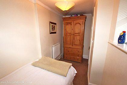
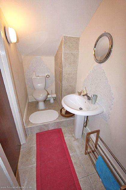
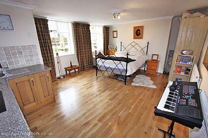
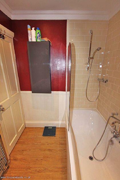
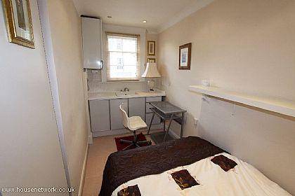
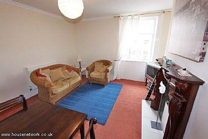
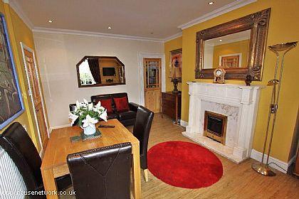
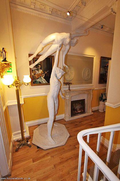
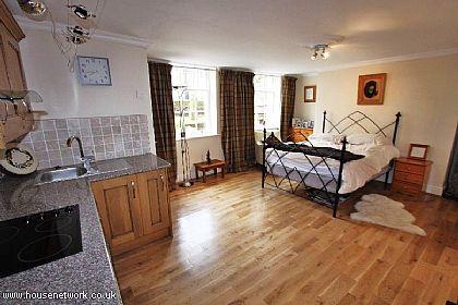
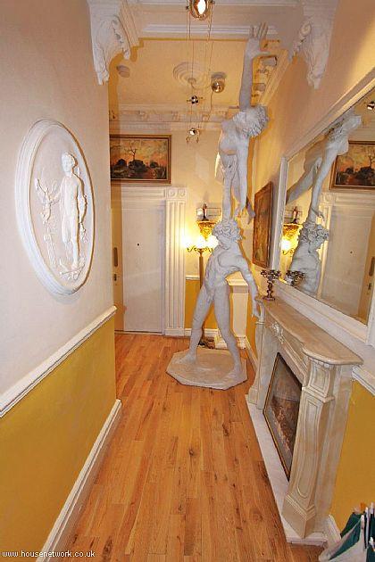
Images


Nearby Streets
| Name | Average Price | Average Sqft | Distance |
|---|---|---|---|
| Park Way | £ 0 | 0 | 0.00 KM |
| Sandon Street | £ 213,333 | 0 | 0.00 KM |
| Bedford Walk | £ 0 | 0 | 0.00 KM |
| Bedford Close | £ 0 | 0 | 0.00 KM |
| Rosebery Street | £ 0 | 0 | 0.00 KM |
Nearby Transport
| Name | NLC | TLC | Distance |
|---|---|---|---|
| Liverpool Central | 2242 | LVC | 1.71 KM |
| Liverpool Lime Street | 2246 | LIV | 1.73 KM |
| Brunswick | 3623 | BRW | 2.03 KM |
| Edge Hill | 2169 | EDG | 2.13 KM |
| St Michaels | 2248 | STM | 2.84 KM |
Nearby Listings
| Address | Price | Type | Score | Distance |
|---|---|---|---|---|
| Canning Street, Liverpool, Merseyside, L8 | £ 290,000 | BUY | Unknown | 0.01 KM |
| 57 Canning Street, Liverpool, L8 | £ 240,000 | BUY | 7 / 10 | 0.05 KM |
| Huskisson Street, Georgian Quarter, Liverpool. | £ 125,000 | BUY | 6 / 10 | 0.07 KM |
| Sandon Street, Georgian Quarter, Liverpool. | £ 450,000 | BUY | 6 / 10 | 0.11 KM |
| 87 Falkner Place, 68 Falkner Street, Liverpool, L8 | £ 165,000 | BUY | Unknown | 0.14 KM |
Nearby Properties
| Address | Price | Distance |
|---|---|---|
| 72 Canning Street | £ 97,500 | 0.00 KM |
| 57 Canning Street | £ 174,500 | 0.04 KM |
| 37 Huskisson Street | £ 340,000 | 0.04 KM |
| 73 Canning Street | £ 435,000 | 0.04 KM |
| 47 Huskisson Street | £ 22,000 | 0.04 KM |